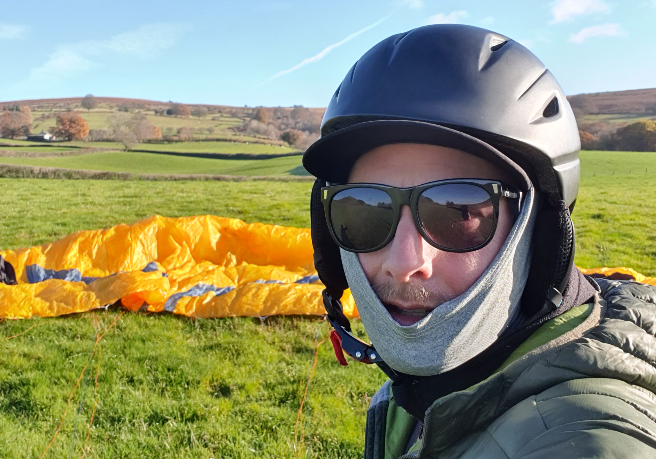
This weekend I completed another attempt at the annual winter hike and fly challenge in South East Wales. It has been almost two years since my last effort in January 2022 but I had identified some key areas to improve. Before setting off, I opted for a lighter and faster approach. I wore shorts, and trail runners, as opposed to trousers and hiking boots. As the walking is mostly fast paced and up hill, I knew I would be sweating a lot. I did carry more water though – having struggled last time. Sweating plenty means more water is required.
My new glider gave me some noticeably better glides getting me a couple of fields further off both Skirrid and Sugarloaf. The new Salewa Hike backpack also sat better and felt more comfortable throughout the day.

Setting off from the castle gates I plotted a more direct route to Skirrid, sticking to the shortest distance by road. Last time I was avoiding roads and going on a more scenic route taking footpaths across fields. I also got lost more trying to find these routes. This first leg went pretty well and I made good time to Skirrid. This is the longest stretch on foot.

My launch off Skirrid was a tight forward launch off the nose. It went well and with a bit of a tail wind I had a great glide across to Sugarloaf easily clearing the road and the train track. A good landing in a field right next to a gate to the access road was perfect. I packed up and headed off.

This next section was the biggest mistake of the day and where I lost the most time. I plotted a route to the wrong hill by mistake and went on a detour, doing an extra mile or so on the way up to Sugarloaf. I remember this part being a mess last time. Once I got back on track it was simple enough to get up to the summit.


The launch from Sugarloaf was tough. It is narrow, the wind seemed to come off the North side, but then went to nothing, then a light thermal would come up the south side. It was a bit busy with people making space hard to find. After a couple of failed front launches I was ready to give up and walk down to the lower launch point. At that point a little breeze hit the wing so I pulled it up into the air and ran off the south side.
Aiming for the main ridge above the car park, I did not feel like I had the height to clear it, so I veered off left through the gulley and round the shoulder. I landed in a soggy field right next to the main bridge over the river. About as good as I could hope for.

Last time I got lost between the bridge and finding the footpath up the Blorenge, but having hiked it a few times now, I found that no problem. This is the steepest climb and I could feel fatigue in my legs. As I got to the top section a cross country running race had set off so I had to give way to over a hundred runners on the way up. This didnt help, but I dont think it slowed me down too much.
The slog from the top of the steep climb to the trig point on the Blorenge was actually less painful seeing all the runners cheering each other along. A quick launch and I made my way down to Castle Meadows landing right near the path to the castle gates. After a quick pack down I made my way to the castle. This time I had made a point of remembering where the gates were in relation to the castle, and not wandering round in the wrong direction.


5h 41m was my final time. Over an hour faster than my previous effort. I was happy with that. My goal had been to get under 6 hours. I covered 2 miles less than before and used less energy, whilst maintaining a faster pace.

There is plenty of room for improvement and I think sub 5h is very achievable with a few simple steps.
- Improved route finding up Sugarloaf. Getting lost and doing extra miles is a huge waste of time.
- More forward launch practice. A few efforts on Sugarloaf wasted time. This is a new glider for me and I am still getting used to it.
- Set up and packing down practice. This is a new glider, harness and backpack, and I need to refine my technique. It was the classic case of rushing only for it to take even longer.
- Faster route to Blorenge. By landing the other side of the river, there is a shorter footpath to get up to the main route up as opposed to going over the main bridge.

Looks really impressive!